Ordnance Survey map 1844
Extracts from the first large scale map of the Chipping area made by the Ordnance Survey. Sheet XLVI.. Surveyed in
Read more
Extracts from the first large scale map of the Chipping area made by the Ordnance Survey. Sheet XLVI.. Surveyed in
Read more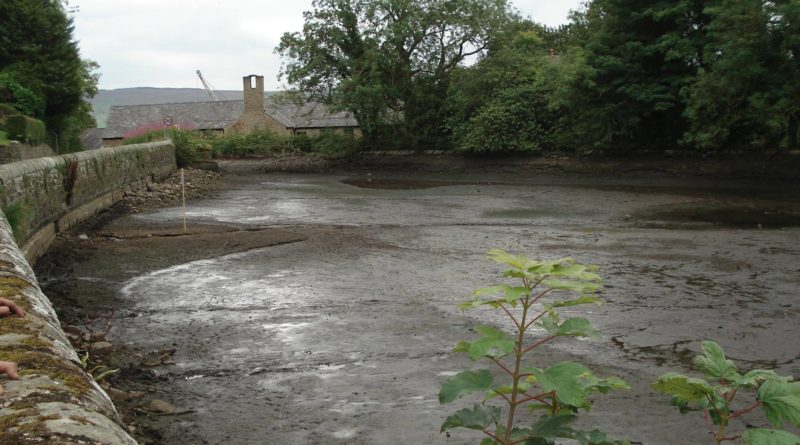
A full length view of the pond from the bank near Dobson’s Brook. Photo taken June 2011. The public
Read more